
Etna's tremor in real time & live vulcanic ash dispersion
Live Etna Activity
Etna’s tremor LIVE
Etna’s Tremor: Real-Time Monitoring
Volcanic tremor is a key indicator of Etna’s internal activity Thanks to the National Institute of Geophysics and Volcanology (INGV), we constantly monitor seismic signals coming from the volcano to predict possible eruptions or phases of increased activity
In the graphic below provided by INGV, you can see a real-time representation of Etna’s tremor This graphic is divided into zones of different colors representing levels of volcanic activity
Green Zone (Low Activity):
- Interval: Da 10^(-1) a 10^0 mV.
- Significance: During this phase, the volcano shows little or almost no activity. Excursions can take place without restriction, allowing the highest areas of Etna to be explored safely.
- Period in Graphics: The black line remains within this area for a long time, indicating a prolonged phase of quiet or low activity.
Yellow Zone (Moderate Activity)
- Interval: Da 10^0 a 10^1 mV.
- Significance: The volcano is beginning to show signs of increased activity. This level requires careful assessment of conditions before hiking to the summits. Some restrictions may be necessary to ensure safety.
- Period in Graphics: Several peaks exceeding the green zone are observed, with short periods of moderate tremor, indicating phases of intensified volcanic activity.
Red Zone (High Activity)
- Interval: Oltre 10^1 mV.
- Significance: Volcanic tremor is high, which may be indicative of impending or ongoing eruptive activity. At this stage, access to summit areas is strictly prohibited for safety reasons.
- Period in Graphics: Toward the end of the graphic, the black line rises sharply into the red zone, indicating a phase of high activity, probably related to eruptive phenomena or an intensification of the volcano.
Alert levels Mount Etna
Volcano guides are always in contact with a system that sends alert messages in case of volcanic activity. This automatic system is activated when certain limits are exceeded, warning about possible impacts on Etna’s territory. In this way, guides can always guarantee safe excursions, adapting routes according to the volcano’s activity.
Activity alert levels on the Etna volcano.
 F0 – Low probability: At this stage, Etna’s activity is low or completely absent. Excursions can take place without special restrictions. This is the ideal time to explore Etna in all its beauty, up to the highest areas.
- F1 – Early Warning: The tremor increases, signaling an intensification of the volcano’s internal activity. In this state, access to summit areas is generally restricted. Our excursions are adapted to ensure safety, taking you to areas that are equally fascinating but far from the danger zones.
- F2 – Alert: This is the highest alert phase. Volcano activity is intense and eruptions or dangerous phenomena may occur. During this phase, hiking to the summit of Mount Etna is prohibited for safety reasons. However, it is possible to explore the lower areas of the volcano, where the risk is minimal.
 F0 – Low probability: At this stage, Etna’s activity is low or completely absent. Excursions can take place without special restrictions. This is the ideal time to explore Etna in all its beauty, up to the highest areas.
 F1 – Early Warning: The tremor increases, signaling an intensification of the volcano’s internal activity. In this state, access to summit areas is generally restricted. Our excursions are adapted to ensure safety, taking you to areas that are equally fascinating but far from the danger zones.
 F2 – Alert: This is the highest alert phase. Volcano activity is intense and eruptions or dangerous phenomena may occur. During this phase, hiking to the summit of Mount Etna is prohibited for safety reasons. However, it is possible to explore the lower areas of the volcano, where the risk is minimal.
Live volcanic ash dispersion simulation
Volcanic activity, particularly explosive eruptions, can release large amounts of volcanic ash into the atmosphere, which can travel hundreds of kilometers affecting air traffic and daily life in surrounding areas. Real-time volcanic ash dispersion simulation is a crucial tool for monitoring and predicting ash cloud behavior and assessing associated risks. These predictive models provide insights into areas potentially affected by ash fall, contributing to public safety, operational decisions and emergency management, especially for air traffic.


Volcanic Ash Deposition
Each color represents a different density of ash deposited on the ground, measured in milligrams per square meter (mg/m²) and grams per square meter (g/m²). Aircraft symbols: represent air routes or nearby airports, suggesting that ash dispersion could impact air traffic.
Simulation of Airborne Dispersion
This map shows the cumulative ash cloud in the atmosphere. Green colors indicate the presence of ash suspended in the air. The extent of the ash cloud is plotted on the map to predict where the cloud might move based on weather conditions, especially winds. Again, aircraft report potential interference with air traffic. If an aircraft is in the path of the ash cloud, there could be risks related to visibility and engine operation.
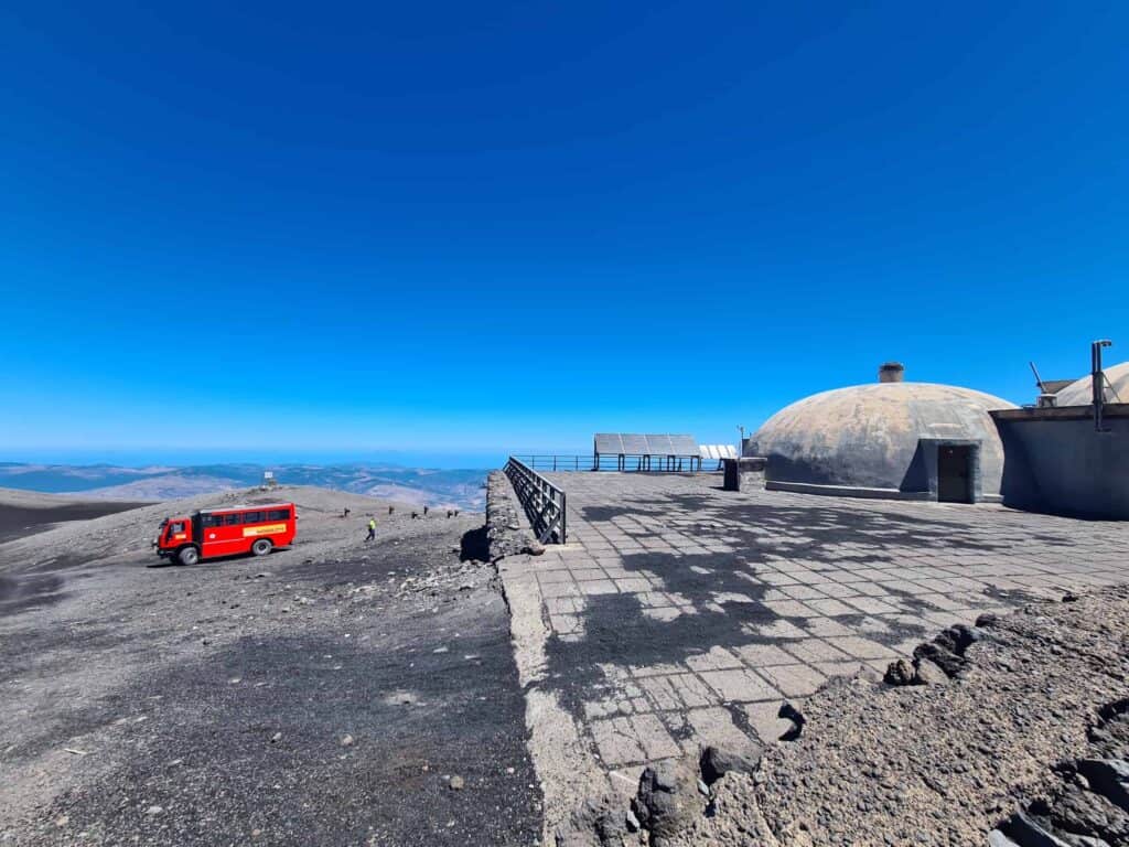
With these excursions you might see Etna activity
Most booked!

Etna sunset & lava tour, up to 3000 m!
- Piano Provenzana - Etna Nord
- Duration: 3 Hours
 Piano Provenzana - Etna Nord
 Duration: 3 Hours
- Starting from € 75,00
- BOOK HERE

Etna Summit Craters sunset and lava – 3347m
- Piano Provenzana - Etna Nord
- Duration: 2 hours uphill + approx. 1.5 hours downhill
- Starting from € 140,00
- BOOK HERE
Less touristy
Mount Etna up to 3000 meters + Craters 2002
- Piano Provenzana - Etna Nord
- Duration: about 2,5 hours
- Starting from € 69,00
- BOOK HERE
© Pianoprovenzana.com - all rights reserved